The most common mistake we see in Newmarket is assuming a gently rolling slope is inherently stable just because it has stood for decades. Glacial till with interbedded sand and silt lenses—typical of the Oak Ridges Moraine—can look deceptively competent until a wet spring saturates the granular seams and triggers a translational failure. Our laboratory team runs drained and undrained shear strength tests on Shelby tube samples recovered from the critical slip surface, feeding parameters directly into a limit equilibrium model that respects Ontario Regulation 172/10 and the local conservation authority’s setback requirements. A thorough slope stability analysis in Newmarket Ontario starts with understanding the stratigraphy beneath the grass, not just the surface angle. For deeper investigation, we often pair the analysis with SPT drilling to identify the exact depth of the sand-silt interface that controls the phreatic surface.
A slope that has stood for 50 years can fail in one wet season if the interbedded silt lenses reach critical pore pressure—we measure that threshold, not just assume it.
Methodology and scope
Local considerations
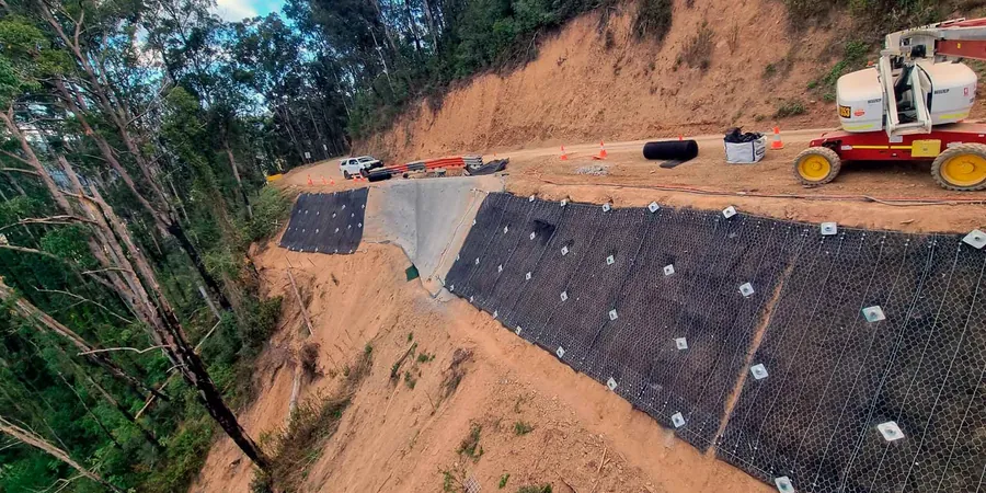
The contrast between Newmarket’s older neighbourhoods west of Main Street and the newer subdivisions east of Highway 404 is stark when it comes to slope risk. The west side, sitting on thicker Halton Till with fewer sand interbeds, generally shows lower groundwater sensitivity—slopes there fail slowly, with classic rotational geometry. East of the 404, closer to the East Holland River valley, the till thins and the underlying sand and gravel aquifers are shallower; we see rapid drawdown failures and sand boils at the toe after heavy rain. A slope stability analysis must account for the local hydrogeological regime, not just the geometry. In the valley lands, we run sensitivity analyses varying the phreatic surface by as little as 0.3 metres, because that is the difference between a stable 1.5 factor of safety and a failing 1.0. The regulatory trigger is often a building permit application within the “area of influence” of a defined valley or ravine, where the conservation authority requires a geotechnical report stamped by a Professional Engineer licensed in Ontario. We provide that report with full parameter justification, cross-sections, and a statement of limitations that holds up under peer review.
Applicable standards
NBCC 2020 (National Building Code of Canada, seismic provisions), Ontario Building Code O.Reg 332/12 as amended, Ontario Regulation 172/10 (Development in valleylands), CSA A23.3-14 (Design of concrete structures, retaining elements), ASTM D4767-11 (Consolidated Undrained Triaxial Compression Test), ASTM D6467-13 (Torsional Ring Shear Test), MTO Geotechnical Design Manual (2021)
Associated technical services
Laboratory Shear Strength Testing
Consolidated-undrained triaxial (ASTM D4767), direct shear (ASTM D3080), and Bromhead ring shear (ASTM D6467) on undisturbed and remolded specimens. We report effective stress parameters (φ’, c’) and residual friction angles for use in limit equilibrium models, with full stress-strain curves and pore pressure response plots.
Limit Equilibrium Slope Stability Modeling
Two-dimensional analysis using Spencer and Morgenstern-Price methods, circular and block slip surface searches, with phreatic surface modeling from piezometer data. Output includes critical slip surface geometry, factor of safety, and sensitivity to groundwater fluctuation—delivered as a stamped geotechnical report suitable for site plan approval in Newmarket Ontario.
Field Investigation and Instrumentation
Track-mounted CPTu with pore pressure dissipation and seismic shear wave velocity, combined with standpipe and vibrating wire piezometer installation. We define the stratigraphy, measure in-situ permeability contrasts, and monitor groundwater response through seasonal cycles to calibrate the stability model.
Typical parameters
Frequently asked questions
What factor of safety is required for a permanent slope in Newmarket Ontario?
For permanent slopes under long-term drained conditions, we target a minimum factor of safety of 1.5, consistent with MTO practice and accepted by the Lake Simcoe Region Conservation Authority. Temporary construction slopes can go to 1.3 for short-term undrained conditions. Post-earthquake stability checks—required under NBCC 2020 for Site Classes C, D, and E—need a minimum FoS of 1.1. The exact target depends on the consequence of failure; slopes above existing structures or watercourses often require 1.5 even for temporary conditions.
How much does a slope stability analysis cost for a residential lot in Newmarket?
For a typical residential lot slope stability analysis in Newmarket Ontario, the cost ranges from CA$1,770 to CA$5,970. The lower end applies to relatively straightforward sites with existing borehole data and a single critical cross-section; the upper end covers complex sites requiring new CPTu investigation, ring shear testing for pre-existing slip surfaces, multiple cross-sections, and interaction with the conservation authority. Every quote is project-specific and based on the investigation scope required.
What triggers a slope stability analysis requirement in Newmarket?
The most common trigger is a building permit application for a property within the regulated area of a valley or ravine, as defined by the conservation authority under Ontario Regulation 172/10. Other triggers include proposed grading that alters a slope steeper than 3H:1V, retaining walls over 1 metre near a slope crest, or any development within the long-term stable slope allowance. The municipality and conservation authority will flag the requirement during site plan review, and a stamped geotechnical report is mandatory before permit issuance.